
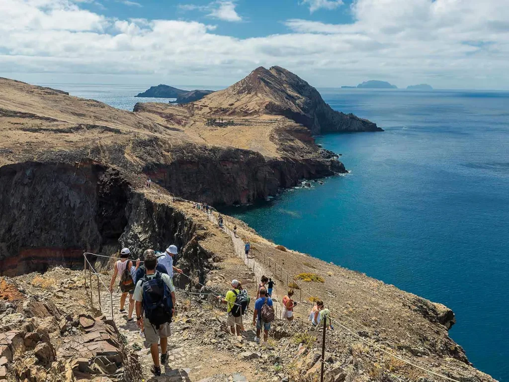
The PR8 Madeira trail, properly the Vereda da Ponta de São Lourenço, is the walk to the end of the island. Madeira’s eastern tip narrows into a bare volcanic peninsula with the Atlantic on both sides, and the trail runs its length: 4 km out to Casa do Sardinha and the same 4 km back. It looks nothing like the rest of the island: no laurel forest, no levada, effectively no trees.
It also now costs money and requires a booking, which catches people out. That part first.
The essentials
| Distance | 4 km each way |
| Duration | 2:30 hours (official estimate, see note below) |
| Difficulty | Moderate |
| Start / End | Baía d’Abra / Casa do Sardinha |
| Altitude | Between 23 m and 126 m |
| Fee | €4.50 for visitors over 12; 12 and under exempt |
| Booking | Required, through the SIMplifica portal |
Those figures come from the Madeira tourism board’s official PR8 listing, which is also where the trail’s current open or closed status is published. One caveat on the timing: the tourism board publishes 2:30 without specifying whether that covers the return leg as well as the outward one, so budget for the possibility that it means each way. Check the status before you drive out. Madeira closes trails at short notice, and this peninsula is among the most wind-exposed ground on the island.
Booking and the fee
Access to the Ponta de São Lourenço is paid and controlled through SIMplifica, the regional government’s booking platform. Book there, not through a third party.
- €4.50 per visitor over 12. Visitors aged 12 and under are exempt from the fee, but not from registering.
- Registration covers everyone. The rule applies to all visitors regardless of age or condition, so a child who pays nothing still needs a booking in the system. Madeira residents also pay nothing and must still book.
- Next-day booking is possible on the platform, so a last-minute change of plan is not fatal. Do not count on walking up without one.
The wider system this sits inside was published by the regional forestry institute for Madeira’s classified walking routes, with the stated aim of managing visitor numbers and flow. It spreads capacity across 30-minute entry slots running from sunrise to sunset. The IFCN says refunds and reschedules apply exclusively where it decides to restrict access, on safety or environmental grounds: a full refund, or a reschedule subject to availability.
Getting to the trailhead
The road east runs out at Baía d’Abra, and that is where the walk begins. It is a straightforward drive from Machico or the airport. Fill your water bottles before you set off.
What the walk is actually like
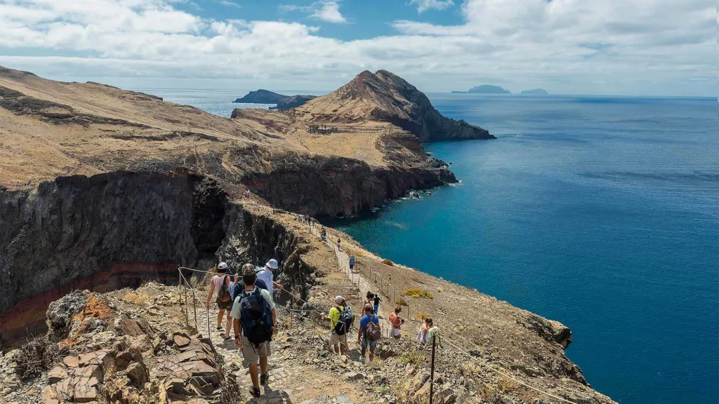
Undulating rather than steep. The path is in good condition and well defined, and the altitude range tells the story: you never climb above 126 m, and are rarely far above the sea. What tires people is not gradient but exposure: there is no shade anywhere on the peninsula, and the return leg is the same 4 km with the sun higher.
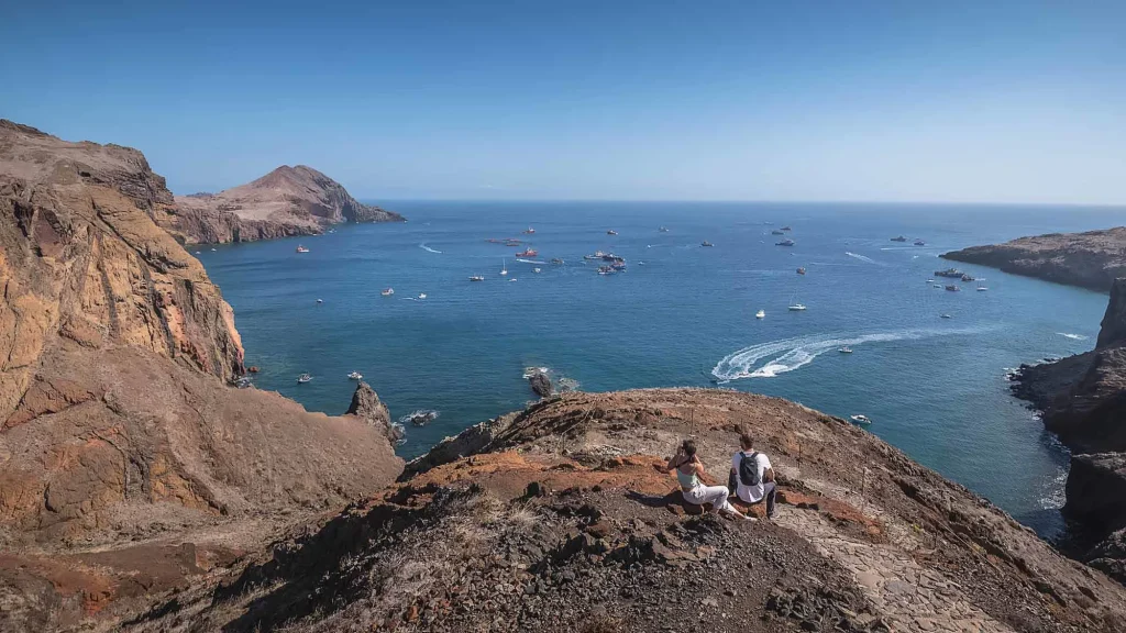
The landscape is the reason to come. This is a volcanic peninsula, mostly basalt with some limestone sediment formations, and the semi-arid climate combined with constant northern wind explains why nothing tall grows. You get low scrub, red and ochre rock, and cliffs falling into open water on both sides at once. Two islets sit off the far end, Desembarcadouro and Farol.
It is a classified Partial Nature Reserve, and the birdlife is much of why. The peninsula holds one of the largest seagull colonies in the region, along with protected seabirds including shearwaters and Bulwer’s petrels. Monk seals are occasionally seen in the water below.
What to bring
- More water than you think. No shade, 8 km round trip.
- Sun protection. Hat and sunscreen are not optional here, because the wind hides how much sun you are getting.
- A windproof layer. Northern exposure is the defining feature of this peninsula.
- Proper footwear. The surface is good but rocky and uneven in places.
- Swimming things, if you intend to use the sea at the far end.
Cais do Sardinha at the far end
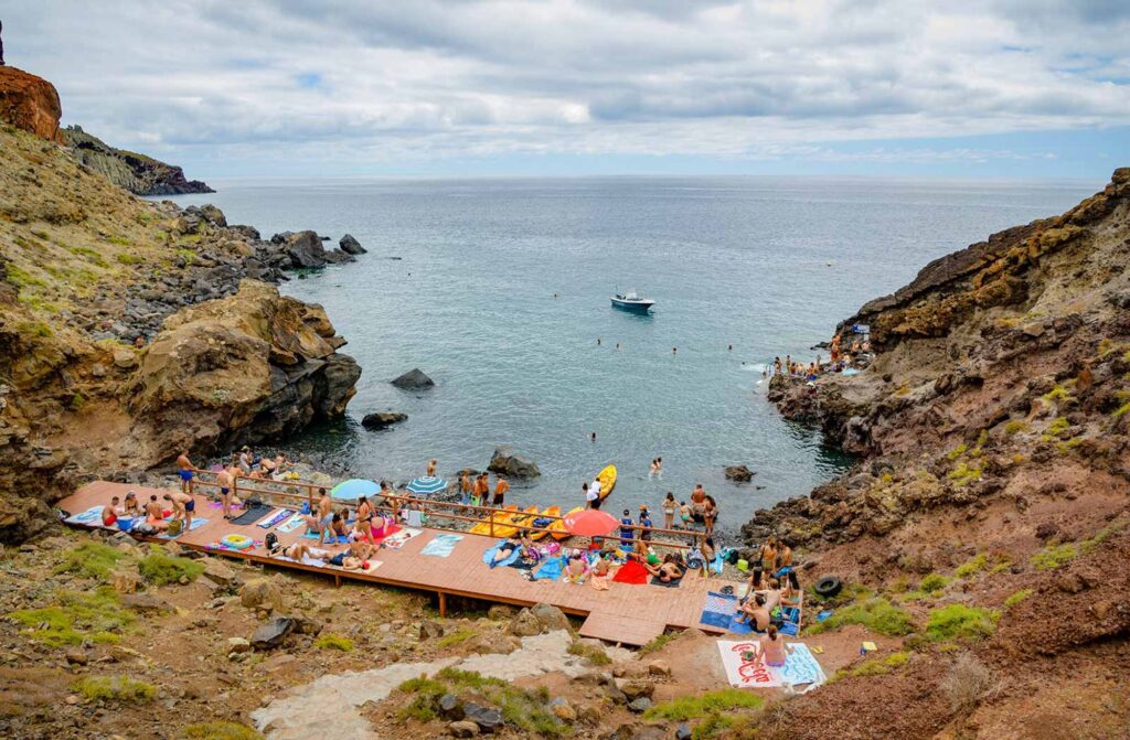
The trail finishes at Casa do Sardinha, and just below it is Cais do Sardinha, a sheltered spot to swim before you turn around. It is what converts an out-and-back into a destination.
We have written about it in detail, including what the water is like and the other ways to reach it, in our Cais do Sardinha guide.
Skipping the return walk
The second 4 km is the part people underestimate, and there is an alternative: boat shuttles run to Cais do Sardinha from the marina at Quinta do Lorde, so you can walk out and ride back. It turns a demanding return hike into a one-way walk, and it is the single best modification to this route if you are walking with children or in real heat.
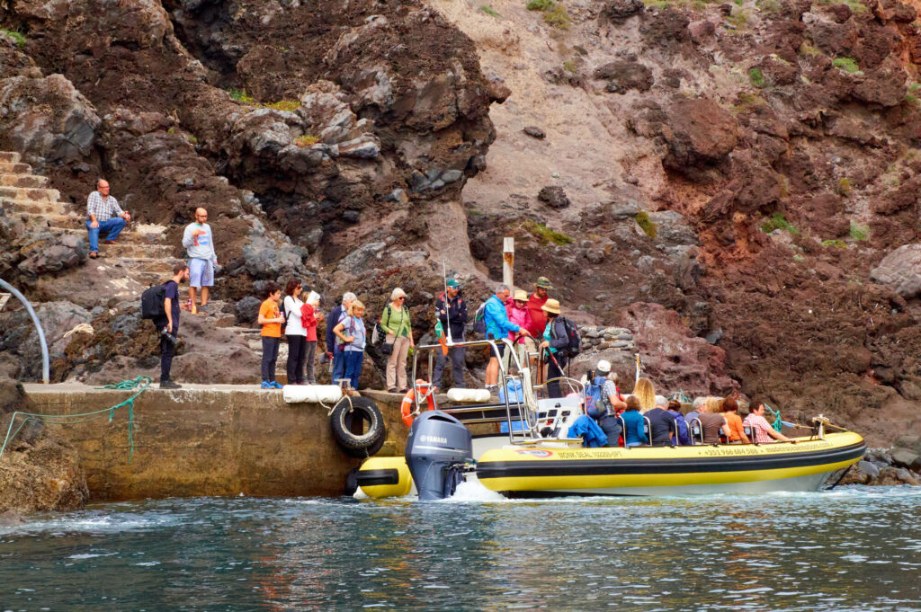
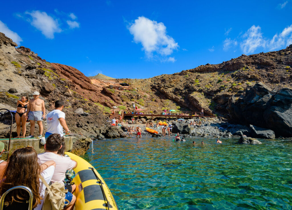
The same boats run coastal routes around the lighthouse and sea caves for anyone who would rather see the peninsula from the water without walking it. Both are listed under boat tours in Madeira.
If what appeals is the walking rather than this particular walk, our guided levada walks in Madeira cover the opposite landscape entirely: shade, water and forest, about as far from this peninsula as the island gets.
FAQ
Yes. Registration through the SIMplifica portal is required for every visitor, regardless of age. Next-day bookings are possible, so you do not have to plan weeks ahead, but you should not expect to walk up without one.
€4.50 per visitor over 12. Those aged 12 and under are exempt from the fee but still need to be registered. Madeira residents do not pay, and also have to book.
The official estimate is 2 hours 30 minutes, though the tourism board does not say whether that figure covers the return leg. Allow more if you plan to swim at Cais do Sardinha or stop for photographs, which almost everyone does.
It is graded moderate. The path is good and the climbs are small; maximum altitude is 126 m. The difficulty comes from total distance, uneven rocky ground and the complete absence of shade, not from steepness.
None. The peninsula’s semi-arid climate and constant northern wind mean there are effectively no trees. Walk it early in the day in summer, and book a slot that lets you.


